
Updated 2 p.m.: I-169 (Pennyrile Parkway) in Hopkinsville continues to be blocked by high water. The Kentucky Transportation Cabinet is urging motorists, especially those in large commercial vehicles, to utilize the Eagle Way Bypass to navigate around the closure.
All southbound vehicles are asked to exit the interstate at Exit 11, then turn left onto the bypass, which is KY 1682. Northbound vehicles can take Exit 5 and turn left onto the bypass. Vehicles from either directions can follow the bypass all the way around Hopkinsville until it rejoins I-169.
An abundance of large vehicles attempted to turn right at Exit 11 is currently create traffic delays that are backing up onto the interstate, according to a news release from KYTC
Previously:
HOPKINSVILLE, KY (CHRISTIAN COUNTY NOW) – Continued rain and persistent wind is causing power outages and flooding throughout Christian County. Dozens of roads are being impacted by rising water, especially in Oak Grove and in downtown Hopkinsville.
At 3:30 a.m. on April 4, Pennyrile Electric reported that 54 outages are affecting around 1,300 members caused by broken poles.
According to a statement, crews have located five broken electric poles on Canton Pike between Food Lion and the bypass. People are asked to use caution around crews while traffic is diverted around them. As of 6:30 a.m., the Pennyrile Electric outage map is still showing a significant number of outages throughout Christian County.
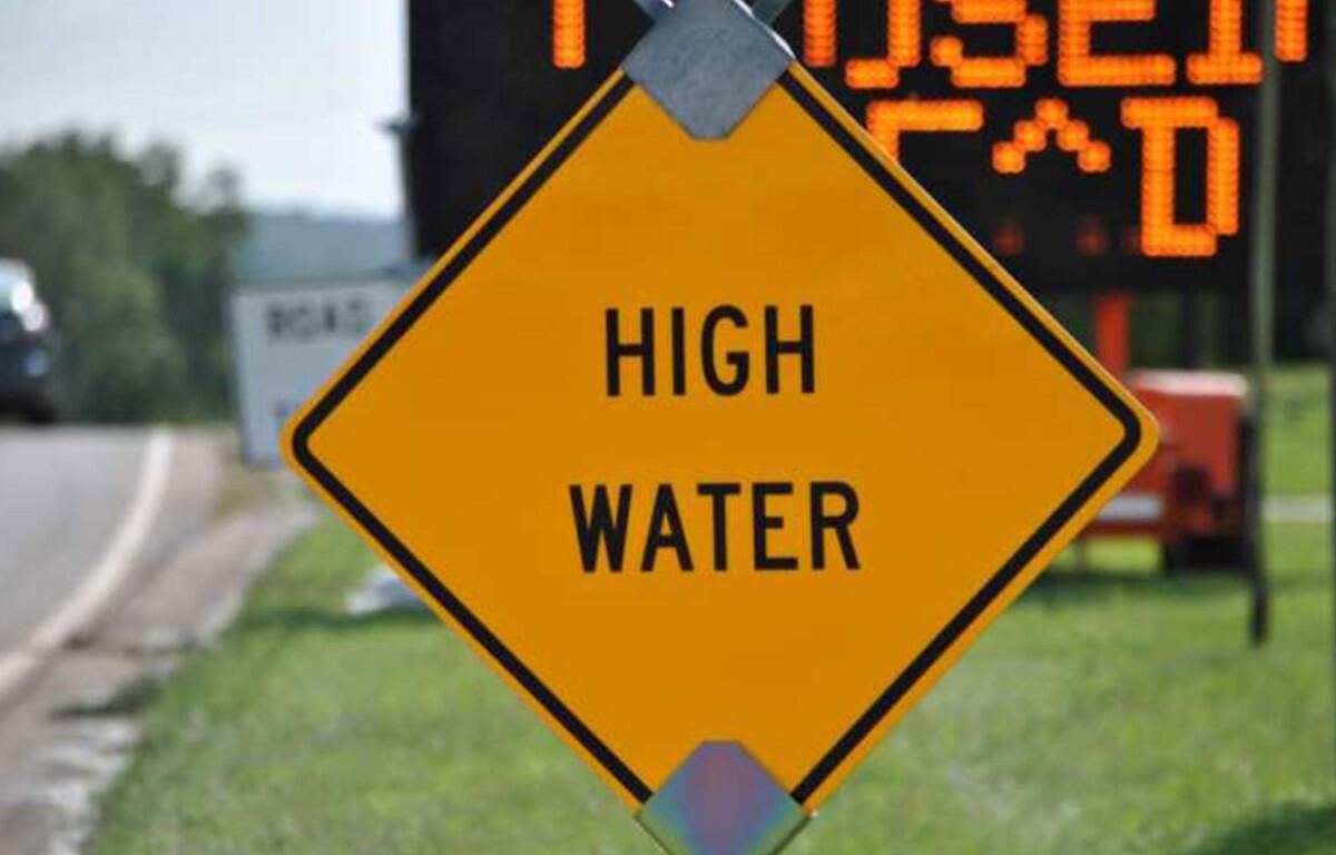
Roads with high water
KYTC and Hopkinsville Public Works have reported that the following roads are impacted by high water in Christian County. Drivers should not drive around posted barricades, this list will continue to be be updated.
- West Ninth Street at Bethel Street
- Riverfront Drive at West Fifth Street
- East Seventh Street between South Clay Street and South Campbell Street
- Donna Drive between Karen Drive and Mark Drive
- Dawn Drive
- Oakhurst and Hurst Drives
- West Riverwood Drive
- South Riverwood Drive
- Woodmill Road
- East 21st Street at Woodmill Road
- Pardue Land
- North Sunset Circle
- Pyle Lane at Foxfield Road
- Walnut Street at mile marker 15.
- Cox Mill Road at the 3.5 mile marker
- North Main Street between the 14-14.2 mile markers
- Madisonville Road in Crofton at mile marker 24
- South Virgina Street in downtown Hopkinsville between 14th Street and East 21st Street
- KY 109 (Bradshaw Road) between the 10.9-11.1 mile markers
- Stateline Road in Oak Grove between the 0-1.3 mile markers
- KY 272 (Canton Pike) between the 7.3-8.2 mile markers
- Thompsonville Lane in Oak Grove severely impacted
- KY 1338 between the 3-4.4 mile markers
| NEWS ALERTS: To get free breaking news alerts on your phone, text CCNOW to 43414.