
Update, 5:13 p.m.: A Tornado Warning has been issued for northeastern Christian County until 5:45 p.m.
At 5:12 p.m., a severe thunderstorm capable of producing a tornado was located near Crofton, or 15 miles southeast of Dawson Springs, moving east at 30 mph.
Update, 4:25 p.m.: A new Tornado Warning has been issued for northwestern Christian County and southeastern Caldwell County until 5 p.m.
At 4:23 p.m., a severe thunderstorm capable of producing a tornado was located near Princeton, moving east at 30 mph.
Update, 4:05 p.m.: A new Severe Thunderstorm Warning has been issued for southeastern Christian County and southern Todd County until 4:45 p.m.
At 4:04 p.m., severe thunderstorms were located along a line extending from Oak Grove to near Clarksville, moving east at 40 mph with 2 inch hail and 60 mph wind gusts.
Update, 3:35 p.m.: A Tornado Warning has been issued for southern Christian County and southeastern Trigg County until 4:15 p.m.
At 3:35 p.m., a severe thunderstorm capable of producing a tornado was located over Big Rock, Tennessee, or 8 miles northeast of Dover, moving east at 30 mph.
“Flying debris will be dangerous to those caught without shelter. Mobile homes will be damaged or destroyed. Damage to roofs, windows, and vehicles will occur. Tree damage is likely.
“Take cover now,” the NWS said. Move to a basement or an interior room on the lowest floor of a sturdy building. Avoid windows. If you are outdoors, in a mobile home, or in a vehicle, move to the closest substantial shelter and protect yourself from flying debris.”
Update 12:02 p.m.: Christian County is currently under a Severe Thunderstorm Warning until 12:45 p.m.
At 11:57 a.m. Doppler radar indicated a severe thunderstorm was located 10 miles northwest of Fort Campbell, moving northeast at 35 mph.
60 mph wind gusts and quarter size hail are possible along with wind damage to roofs, siding, and trees. Hopkinsville, Pembroke, and Herndon will be affected.
Previously:
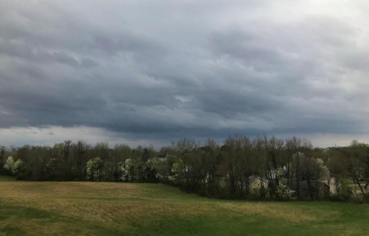
HOPKINSVILLE, KY (CHRISTIAN COUNTY NOW) – After a night of heavy rain the National Weather Service has issued a flood watch for Christian County through Thursday morning, with more rain expected Wednesday afternoon.
About three inches of rain is anticipated, and flooding of rivers, creeks and streams is possible in flood prone areas. A hazardous weather outlook is still in place as more storms come through this afternoon around 4 p.m.
NEWS ALERTS: To get free breaking news alerts on your phone, text the word NEWS to 43414.
“Some of stronger storms will produce torrential rainfall causing localized flooding and severely reduced visibilities for drivers,” said NWS. “Damaging winds, large hail, and significant tornadoes are all potential hazards. In addition, localized flooding is possible where repeat heavy rainfall may occur.”
Due to potential storms, Christian County Public Schools will be releasing students early today. A message was sent out to families saying elementary schools will be released at 11 a.m. while middle and high schools will be released at noon.
SEVERE WEATHER: Click here for Christian County’s weather forecast and live radar.