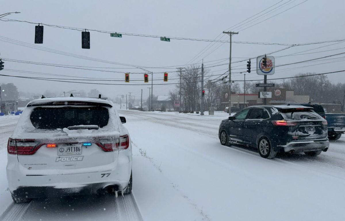

HOPKINSVILLE, KY (CHRISTIAN COUNTY NOW) – The Hopkinsville Police Department shared several photos of snow-covered roads throughout the city on Saturday, with conditions expected to continue through the weekend. They are encouraging residents to stay home if possible.
Main roads like Fort Campbell Boulevard and the Eagle Way Bypass are impacted by snow, although pre-treatment of city and state roads aims to prevent the buildup of ice. As heavy snowfall and wind continue through the night, visibility may diminish.


Christian County snow forecast
Here is what the rest of the weekend looks like for snowfall, according to the National Weather Service.
- Saturday night: Snow, freezing rain, and sleet before 11 p.m., then freezing rain and sleet between 11 p.m. and 5 a.m., then freezing rain and sleet, possibly mixed with snow after 5 a.m. Temperatures rising to around 20 by 4 a.m. Chance of precipitation is 100%. New ice accumulation of 0.1 to 0.2 of an inch possible. New snow and sleet accumulation of around an inch possible.
- Sunday: Snow, freezing rain, and sleet before 2 p.m., then a chance of snow and sleet between 2 p.m. and 3 p.m., then a chance of snow after 3 p.m. The sleet could be heavy at times. High near 23. North northwest wind 9 to 13 mph, with gusts as high as 20 mph. Chance of precipitation is 100%. New ice accumulation of less than a 0.1 of an inch possible. New snow and sleet accumulation of around an inch possible.
- Sunday night: A 20 percent chance of snow before 11pm. Mostly cloudy, with a low around 3. Wind chill values as low as -7. Northwest wind 7 to 10 mph.
| RELATED STORY: State of Emergency declared, Hopkinsville Salvation Army offering aid during winter storm