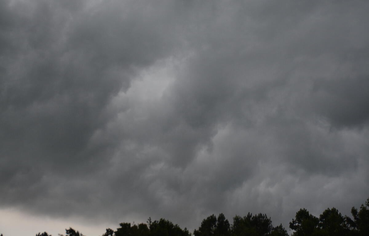

HOPKINSVILLE, KY (CHRISTIAN COUNTY NOW) – A looming threat of severe weather is still uncertain as sudden spikes in temperatures across Christian County are predicted to bring in storms on Friday and Saturday. The National Weather Service in Paducah said there are three periods of showers and thunderstorms that are likely to occur through Sunday.
Western Kentucky and Hopkinsville are expected to get the majority of the rain in the region with up to two inches possible. A round of severe storms is currently being predicted for late Friday afternoon through Friday night. Damaging winds coupled with storms may create a tornado threat according to a hazardous weather outlook from the NWS. A second round of storms may develop Saturday.

Christian County forecast
Here’s the day-by-day outlook.
Wednesday: Sunny, with a high near 79. South southwest wind 7 to 11 mph, with gusts as high as 18 mph.
Wednesday night: A 20 percent chance of showers after 4am. Increasing clouds, with a low around 55. South wind around 6 mph.
Thursday: A chance of showers, with thunderstorms also possible after 1pm. Partly sunny, with a high near 74. South wind around 7 mph. Chance of precipitation is 50%.
Thursday night: Mostly clear, with a low around 54. Calm wind becoming south southeast around 6 mph after midnight.
Friday: Mostly sunny, with a high near 79. South southeast wind 6 to 11 mph increasing to 12 to 17 mph in the afternoon. Winds could gust as high as 26 mph.
Friday night: Showers and possibly a thunderstorm. Low around 59. South wind 14 to 17 mph, with gusts as high as 29 mph. Chance of precipitation is 100%.
Saturday: A chance of showers, then showers likely and possibly a thunderstorm after 1pm. Some of the storms could produce heavy rainfall. Partly sunny, with a high near 75. South southwest wind 13 to 16 mph, with gusts as high as 26 mph. Chance of precipitation is 60%.
Saturday night: A chance of showers and thunderstorms. Mostly cloudy, with a low around 44. West wind 6 to 8 mph.