
Update, 5:28 p.m. The Tornado Watch that was initially issued for Christian County through 9 p.m. has been cancelled by the National Weather Service.
Update, 3:10 p.m. A Severe Thunderstorm Warning has been issued for southeastern Christian County until 3:45 p.m. Severe thunderstorms were located along a line extending from near Pembroke to near Oak Grove to near Clarksville, moving northeast at 50 mph with possible 60 mph wind gusts. Expect damage to roofs, siding, and trees.
A Tornado Watch remains in effect until 9 p.m.
Previously:
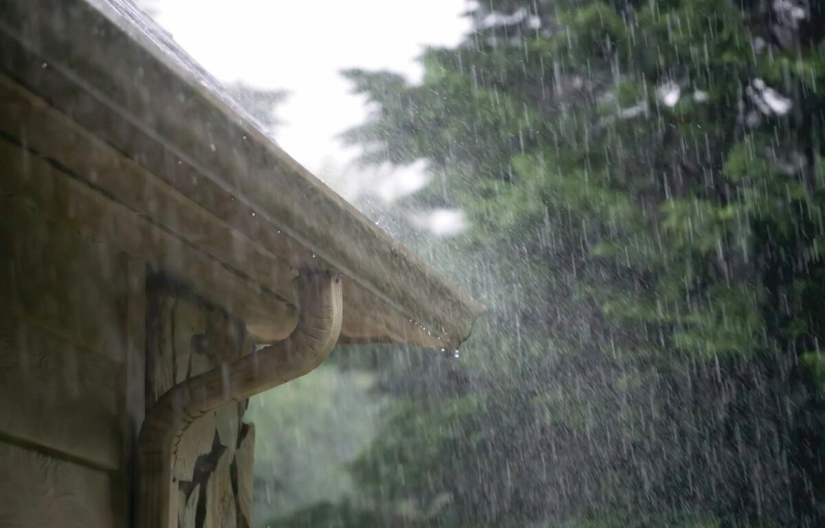
HOPKINSVILLE, KY (CHRISTIAN COUNTY NOW) – With a third wave of thunderstorms moving across the region on Friday night, even more rain is predicted to fall on Saturday. Between four to six inches of rainfall may occur, on top of the nearly ten inches that has already flooded the area.
A Flash Flood Warning is in place until 11:15 a.m. on Saturday, with the Flood Watch expiring early Sunday morning. A particularly dangerous flooding situation is ongoing, with the continued risk of damaging winds and hail for the entire region.
“Dangerous Flash Flooding will continue today across much of the region with several more inches of rain expected,” said a statement from the National Weather Service in Paducah. “There is also a lower risk for some severe weather, especially in western Kentucky.”
After Sunday, NWS is anticipating frost as temperatures drastically drop into the 30s overnight for early in the week.
| RELATED STORY: A closer look at flooding in Hopkinsville, rescues continue | PHOTOS