
Update, 12:30 p.m.: The Severe Thunderstorm Watch remains in effect until 5 p.m.
Update, 11:45 a.m.: The Warning has been extended until 12:30 p.m.
Previously:
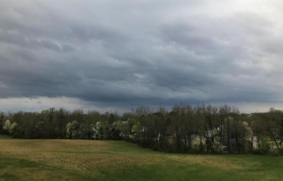
HOPKINSVILLE, KY (CHRISTIAN COUNTY NOW) – A Severe Thunderstorm Warning has been issued until 11:45 a.m. as a fast-moving storm produced potentially damaging winds and hail, according to the National Weather Service. The warning covered central Christian County, northeastern Trigg County and northwestern Todd County.
At 11:14 a.m., Doppler radar indicated a severe thunderstorm near Hopkinsville moving east at about 50 mph. Forecasters warned the storm could produce wind gusts up to 70 mph and nickel-size hail. The storm could cause considerable tree damage, with possible impacts to mobile homes, roofs and outbuildings.
Communities in the path of the storm included Hopkinsville, Cadiz, Pembroke and Herndon. The warning area also included portions of Interstate 24 between mile markers 61 and 82 and the Pennyrile Parkway between mile markers 1 and 20.
Meteorologists said a tornado was possible with the storm. Officials advised residents to move to an interior room on the lowest floor of a building until the storm passes.
Severe Thunderstorm Watch
A Severe Thunderstorm Watch remains in effect until 5 p.m. for Christian County.
The National Weather Service said damaging winds are the primary threat with the current round of storms, though a brief, weak tornado cannot be ruled out. Additional rounds of thunderstorms are possible Tuesday afternoon through Wednesday, some of which could also become severe and produce flash flooding.
Hopkinsville forecast
Here’s the day-by-day forecast.
- Today: Showers and thunderstorms before 4 p.m., then showers likely and possibly a thunderstorm between 4 p.m. and 5 p.m., followed by a chance of showers and thunderstorms after 5 p.m. Some storms could produce heavy rainfall. Temperature falling to around 67 by 5 p.m. South southwest wind 10 to 15 mph, with gusts as high as 25 mph. Chance of precipitation is 100%.
- Tonight: Showers likely, mainly between 10 p.m. and midnight. Cloudy, with a low around 51. Southwest wind around 5 mph becoming north northwest after midnight. Chance of precipitation is 70%.
- Sunday: A 20 percent chance of showers before 8 a.m. Mostly cloudy through midmorning, then gradual clearing, with a high near 67. North northwest wind around 5 mph becoming calm in the morning.
- Sunday night: Mostly clear, with a low around 47. Calm wind.
| WEATHER OUTLOOK: Click here for Christian County’s weather forecast and live radar.