
Updated 5:05 p.m. A Flood Advisory is in place by the National Weather Service until 8 p.m. as Christian County Emergency Management has reported water rising on roadways in Hopkinsville. Nearly two inches of rain have already fallen due to storms.
A Severe Thunderstorm Warning has also been issued through 5:30 p.m. as severe thunderstorms were located along a line extending southwest of Crofton to near Hopkinsville to west of Fort Campbell, moving east at 60 mph.
Previously:
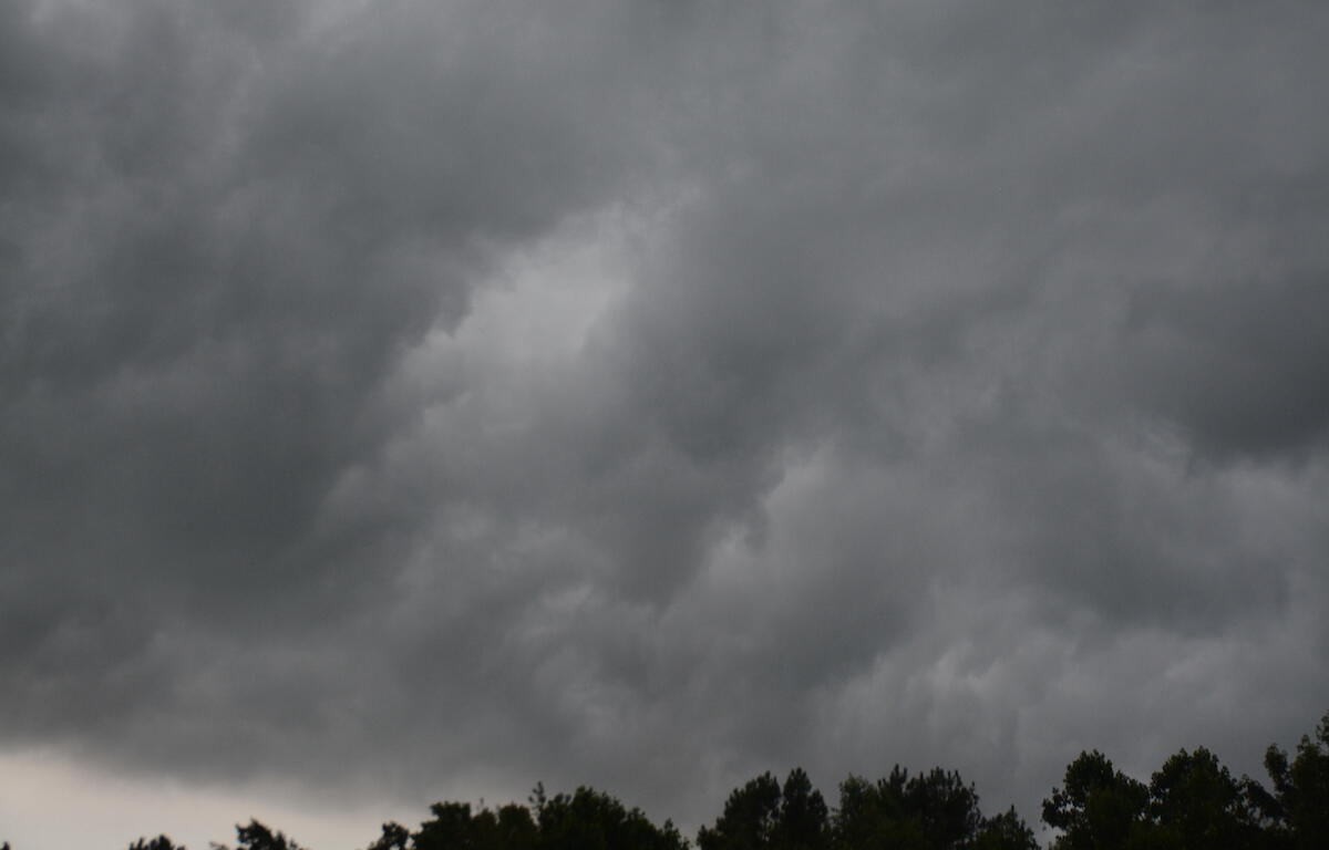
HOPKINSVILLE, KY (CHRISTIAN COUNTY NOW) – The National Weather Service has issued a Tornado Watch for Christian County until 10 p.m. on May 20. The Tornado Watch expands to include all of western Kentucky and portions of southwest Indiana.
Around 3 p.m., the NWS in Paducah shared that radar shows severe thunderstorms becoming more widespread near the Mississippi River, moving quickly into western Kentucky. The main threats will be damaging winds to 60 mph and large hail. A couple tornadoes cannot be ruled out over the next few hours, according to NWS.
All CCPS after school activities have been cancelled or rescheduled, and government buildings in Hopkinsville have closed early in anticipation of the incoming storm.
The tornado shelter in Crofton is open to the public for the duration of the storm at 13511 North Madisonville Road.
| RELATED STORY: Severe storms possible in Christian County, local broadcasts available amid weather radio outage