
Updated: 11:53 p.m.: A Flash Flood Warning has been issued for Christian County until 6 a.m. Thursday
Doppler radar and automated rain gauges indicated thunderstorms producing heavy rain. Between 1 and 2 inches of rain have fallen. Additional rainfall amounts up to 1 inch are possible. Flash flooding is ongoing or expected to begin shortly.
Updated: 9:47 p.m.: A Tornado Warning is in place for northern Christian County near the city of Crofton. At 9:44 p.m. a severe thunderstorm capable of producing a tornado was located near Cobb, or eight miles southeast of Princeton, moving northeast at 60 mph, according to the National Weather Service. This storm will be near Crofton around 9:55 p.m., and the warning will be in effect until 10:45 p.m.
Updated: 9:39 p.m.: The Severe Thunderstorm Warning has been extended through 10:30 p.m. for Crofton and northern Christian County. At 9: 38 p.m., severe thunderstorms with 60 mph wind gusts were located along a line extending from near Sebree to Earlington to near Cobb, moving east at 50 mph.
Updated 9:23: A portion of west central Christian County is under a Tornado Warning. Radar has indicated rotation near Land Between the Lakes area.
Updated 9:06 p.m.: Radar has indicated severe thunderstorms are moving east at 55 mph toward Christian County. A Severe Thunderstorm Warning has been issued by the National Weather Service until 9:45 p.m. 70 mph wind gusts are expected with the storm, damage to trees, mobile homes, and roofs is possible. Tornadoes can develop quickly
from severe thunderstorms.
Updated 7 p.m.: A severe thunderstorm was located seven miles southwest of Fort Campbell moving northeast at 50 mph, according to the National Weather Service. A Severe Thunderstorm Warning is in effect for Christian County until 7:45 p.m., 60 mph wind gusts and quarter size hail is possible, mostly for southeastern Christian County.
Previously:
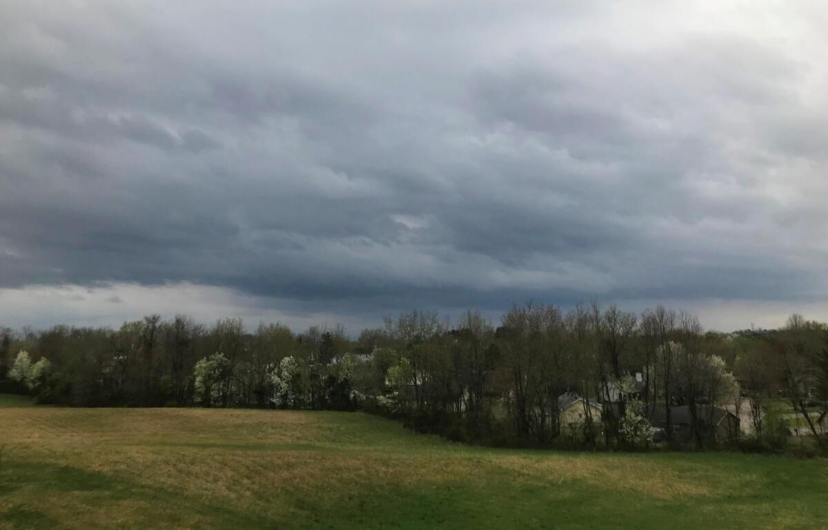
HOPKINSVILLE, KY (CHRISTIAN COUNTY NOW) – The National Weather Service has issued a Tornado Watch for Christian County that is in effect from 2:50 p.m. through midnight on Wednesday.
A major outbreak of severe storms with strong, long track tornadoes, very large hail, and damaging winds is expected across the Quad State, making its way to Hopkinsville late tonight around 10 p.m. Storms will move to the northeast at 60-70 mph, according to NWS Paducah.
A Flood Watch has also been issued through April 6 at 7 a.m., and a Wind Advisory is in effect for Christian County through midnight ahead of incoming storms and rain.
“We are working closely with all local agencies to ensure a coordinated response to this severe weather,” said Hopkinsville Fire Chief Steven Futrell in a news release. “The safety of our residents is our top priority, and we ask everyone to remain vigilant, take necessary precautions, and heed the advice of emergency officials.”
This article will be updated as conditions change.
| RELATED STORY: Severe weather, tornado risk increases for Christian County ahead of ‘historic’ flooding