
HOPKINSVILLE, KY (CHRISTIAN COUNTY NOW) – A Flood Warning has been issued for Christian County through 11 a.m. on Monday, with a Freeze Warning also in place after midnight tonight through 9 a.m. Tuesday.
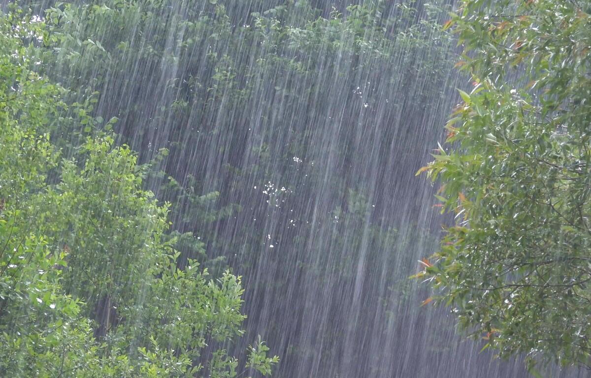
At 9:11 a.m., the NWS in Paducah said that widespread flooding continues in the area from the 10 to 14 inches of rain that fell over the weekend. The worst flooding appears to be along the Little River, the Tradewater River, and other local tributaries. Flooding impacts will continue, but no additional rainfall is expected for now.
Temperatures are expected to drop overnight this week into the 30s which may cause frost. More rain is expected mid-week in Christian County.
Christian County forecast
Here’s the day-by-day outlook.
Today: Mostly sunny, with a high near 60. North wind 6 to 8 mph.
Tonight: Areas of frost after midnight. Otherwise, mostly clear, with a low around 30. Northwest wind around 7 mph becoming north northeast after midnight.
Tuesday: Areas of frost before 9am. Otherwise, sunny, with a high near 52. North wind around 6 mph.
Tuesday night: Mostly clear, with a low around 33. Calm wind.
Wednesday: Mostly sunny, with a high near 66. South wind 5 to 10 mph.
Wednesday Night: A 40 percent chance of showers. Mostly cloudy, with a low around 51. South wind around 8 mph.
Thursday: A slight chance of showers, then showers likely and possibly a thunderstorm after 1pm. Mostly sunny, with a high near 68. West wind 7 to 10 mph. Chance of precipitation is 60%.
Thursday night: A chance of showers and thunderstorms before 1am. Partly cloudy, with a low around 41. North northwest wind around 6 mph.
Friday: A slight chance of showers after 1pm. Mostly sunny, with a high near 61. North northwest wind 6 to 10 mph.
Friday night: Mostly clear, with a low around 37. North northwest wind around 6 mph becoming calm after midnight.
| RELATED STORY: A closer look at flooding in Hopkinsville, rescues continue | PHOTOS