
Update 2:47 p.m.: The Severe Thunderstorm Warning has been cancelled for Christian County.
Update, 1:52 p.m.: A Severe Thunderstorm Warning has been issued for southwestern Christian County and southeastern Trigg County until 2:30 p.m.
A severe thunderstorm was located near Big Rock, Tennessee, or 11 miles north of Dover, moving east at 45 mph with possible 60 mph wind gusts and quarter-size hail. Hail damage to vehicles is expected. Expect wind damage to roofs, siding, and trees.
Locations impacted include Hopkinsville, Oak Grove, Fort Campbell, Lafayette, Linton and Herndon.
Previously:
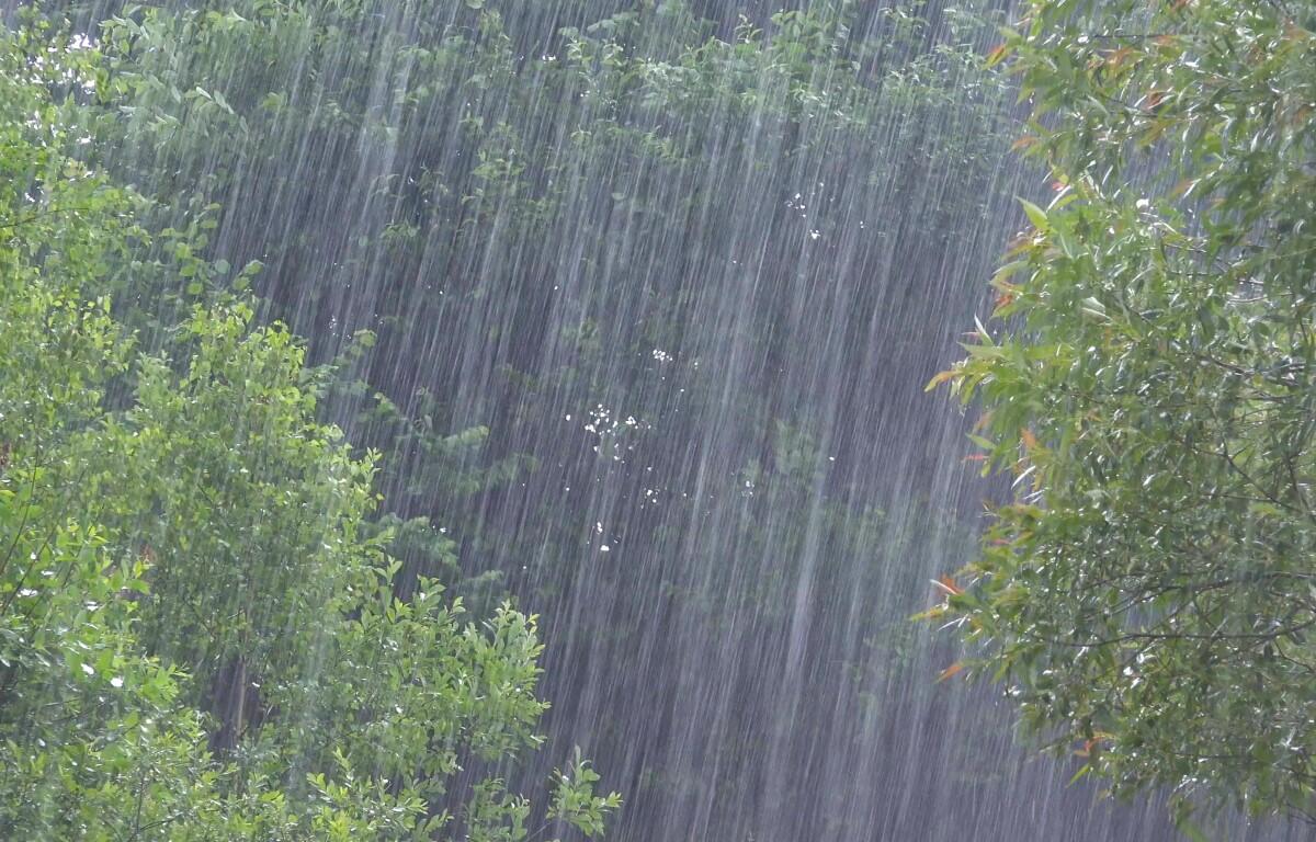
HOPKINSVILLE, KY (CHRISTIAN COUNTY NOW) – Rain is expected to start Friday afternoon and continue into late Saturday. Saturday will have an 80% chance of of rain showers, according to the National Weather Service.
But come Sunday, the clouds will part way, giving way to sunny skies and a high of 45. The night will cool off, with temperatures dipping into the 30s.
Christian County forecast
Here’s the day-by-day outlook.
- Friday: A 20 percent chance of showers after noon. Partly sunny, with a high near 52. Northeast wind around 7 mph.
- Friday night: Rain likely, mainly after midnight. Mostly cloudy, with a low around 41. East wind around 6 mph. Chance of precipitation is 70%.
- Saturday: Rain. High near 70. East wind 5 to 10 mph becoming southwest in the afternoon. Winds could gust as high as 20 mph. Chance of precipitation is 80%.
- Saturday night: Rain before midnight. Low around 32. Southwest wind 8 to 10 mph becoming north after midnight. Chance of precipitation is 80%.
- Sunday: Partly sunny, with a high near 45. North northeast wind around 7 mph.
- Sunday night: A chance of rain, mainly after midnight. Mostly cloudy, with a low around 33. North northeast wind around 6 mph.
WEATHER OUTLOOK: Click here for Christian County’s weather forecast and live radar.