


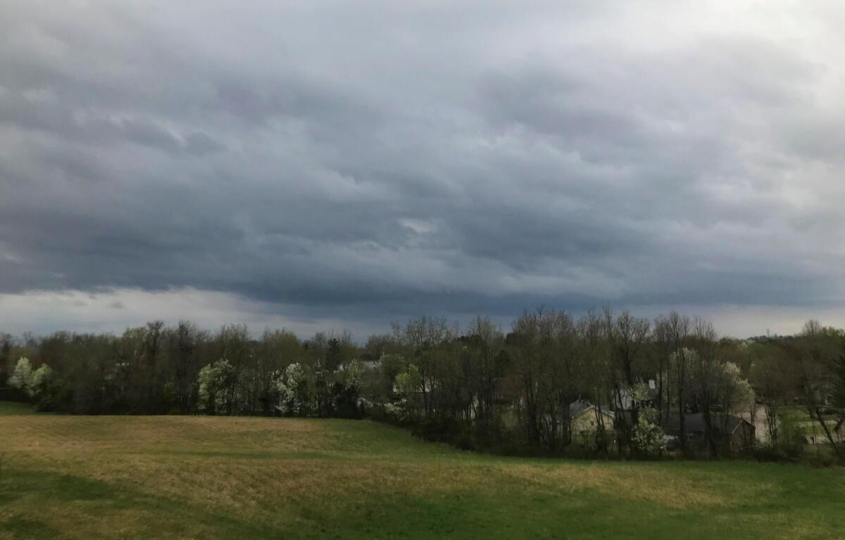

Update, 4 p.m.: A Tornado Watch has been issued for Christian County until 10 p.m. “Several rounds of showers and thunderstorms will move through the region,” the NWS said. “Some storms may become strong to severe. Damaging winds will be the main hazard but tornadoes will be possible as well.” If a tornado is spotted or indicated on radar, a Tornado Warning will be issued.
Update, 7:35 a.m.: The National Weather Service has issued a Flood Watch for Christian County through Sunday at 7 a.m.
“Multiple rounds of thunderstorms are expected through Saturday. Repeated rounds of heavy rainfall from thunderstorms could produce flash flooding,” the NWS said. “Excessive runoff may result in flooding of rivers, creeks, streams, and other low-lying and flood-prone locations. Low-water crossings may be flooded.”
Residents should monitor later forecasts for possible Flood Warnings. Those living in areas prone to flooding should be prepared to take action.
Previously:
HOPKINSVILLE, KY (CHRISTIAN COUNTY NOW) – A Special Weather Statement from the National Weather Service in Paducah says radar was tracking strong storms around 6 a.m. which may bring wind gusts up to 40 mph to Christian County on Friday.
Showers and thunderstorms are expected to become more widespread this afternoon, with storm chances remaining elevated tonight and through Saturday. This may bring periods of heavy rain and thunderstorms.
Temperatures will jump into the low 90s Sunday afternoon, with overnight lows remaining in the mid-70s.
Christian County forecast
Here’s the day-by-day outlook.
- Friday: A chance of showers and thunderstorms, then showers likely and possibly a thunderstorm after 3pm. Partly sunny, with a high near 88. Light south wind becoming south southwest 5 to 10 mph in the morning. Winds could gust as high as 20 mph. Chance of precipitation is 60%.
- Friday night: Showers and thunderstorms likely, mainly before 10pm, then showers likely and possibly a thunderstorm after 1am. Mostly cloudy, with a low around 73. Southwest wind around 7 mph. Chance of precipitation is 70%.
- Saturday: Showers and thunderstorms likely, then showers and possibly a thunderstorm after 5pm. High near 87. West southwest wind 7 to 10 mph. Chance of precipitation is 80%.
- Saturday night: Showers and thunderstorms likely, mainly before 7pm. Mostly cloudy, with a low around 73. Light and variable wind. Chance of precipitation is 60%.
- Sunday: Sunny, with a high near 93. Calm wind becoming southwest 5 to 7 mph in the morning.
- Sunday night: Mostly clear, with a low around 74. Southwest wind around 5 mph becoming calm in the evening.
| MORE EVENTS: Visit our Summer Fun Guide to find more events in Christian County.