


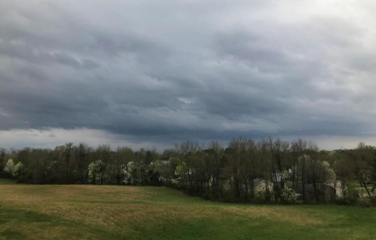

HOPKINSVILLE, KY (CHRISTIAN COUNTY NOW) – On and off again storms continue through this weekend in Hopkinsville. Starting on Friday, showers and thunderstorms are likely through the afternoon, with heavy rainfall possible, according to the National Weather Service. High temperatures will stay in the low 80s all weekend.
Storms continue into Saturday, with additional scattered storms possible during the afternoon. Conditions gradually improve Saturday night, though clouds will linger. Sunday’s forecast is calmer, with only a slight chance of afternoon and overnight thunderstorms.
| WEEKEND EVENTS: Baseball, summer reading kickoff, Mystical Moon Market and more
Christian County forecast
Here’s the day-by-day outlook.
- Friday: Showers and thunderstorms likely, mainly before 4pm. Some of the storms could produce heavy rainfall. Mostly cloudy, with a high near 82. East wind around 6 mph. Chance of precipitation is 60%.
- Friday night: Showers and thunderstorms before midnight, then showers likely and possibly a thunderstorm between midnight and 4am, then a chance of showers and thunderstorms after 4am. Low around 66. Calm wind. Chance of precipitation is 80%.
- Saturday: A chance of showers before 10am, then a chance of showers and thunderstorms between 10am and 1pm, then showers likely and possibly a thunderstorm after 1pm. Partly sunny, with a high near 80. Calm wind becoming east northeast 5 to 7 mph in the afternoon. Chance of precipitation is 60%.
- Saturday night: A slight chance of thunderstorms before 7pm. Mostly cloudy, with a low around 62. East northeast wind 3 to 6 mph. Chance of precipitation is 10%.
- Sunday: A 20 percent chance of showers and thunderstorms after 1pm. Partly sunny, with a high near 82. Light east wind.
- Sunday night: A 30 percent chance of showers and thunderstorms, mainly after 1am. Partly cloudy, with a low around 64. Calm wind.
| STAY UPDATED ON LOCAL NEWS: Sign up for the midday Christian County Now newsletter.