
HOPKINSVILLE, KY (CHRISTIAN COUNTY NOW) – The four inches of snow resting across driveways and secondary roads may take a while to disappear as more extreme cold is expected to hit Christian County.
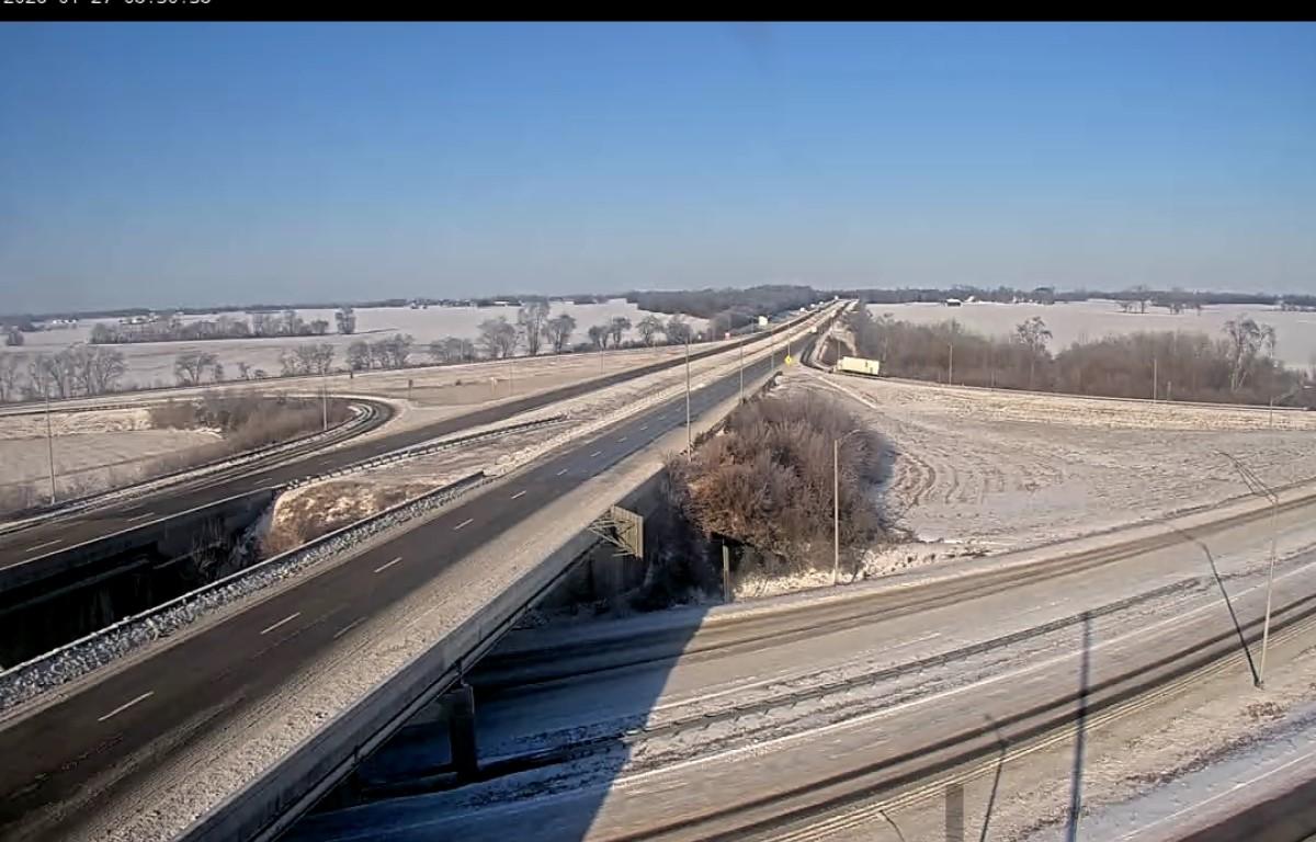
An Extreme Cold Warning is still in place until 10 a.m. with wind gusts as high as 20 mph possible, dragging temperatures into the single digits overnight and dipping into the negatives. KYTC cameras from the I-24 overpass by Fort Campbell Boulevard in Christian County show that main roadways are passable but still have snow and ice accumulations on the shoulder and portions of the road.
The National Weather Service in Paducah is forecasting another Arctic outbreak on Friday, which will last into next weekend. This incoming cold air will cause wind chill values to approach dangerous values, with a 50-90% chance of subzero wind chills on Friday morning and a 50-90% chance of wind chills below -10 degrees Saturday morning, according to NWS.
Due to these back-to-back cold snaps, cities in the region may experience 11 days straight of below freezing weather, however no additional snow or sleet is expected. Temperatures are not expected to rise to 40 degrees until Feb. 2 in Hopkinsville.
While road conditions gradually improve, the Hopkinsville Fire Department/EMS is encouraging residents to take it slow, leave distance between vehicles while driving and wear a seatbelt.
| FIND US ON SOCIAL MEDIA: Follow Christian County Now on Facebook