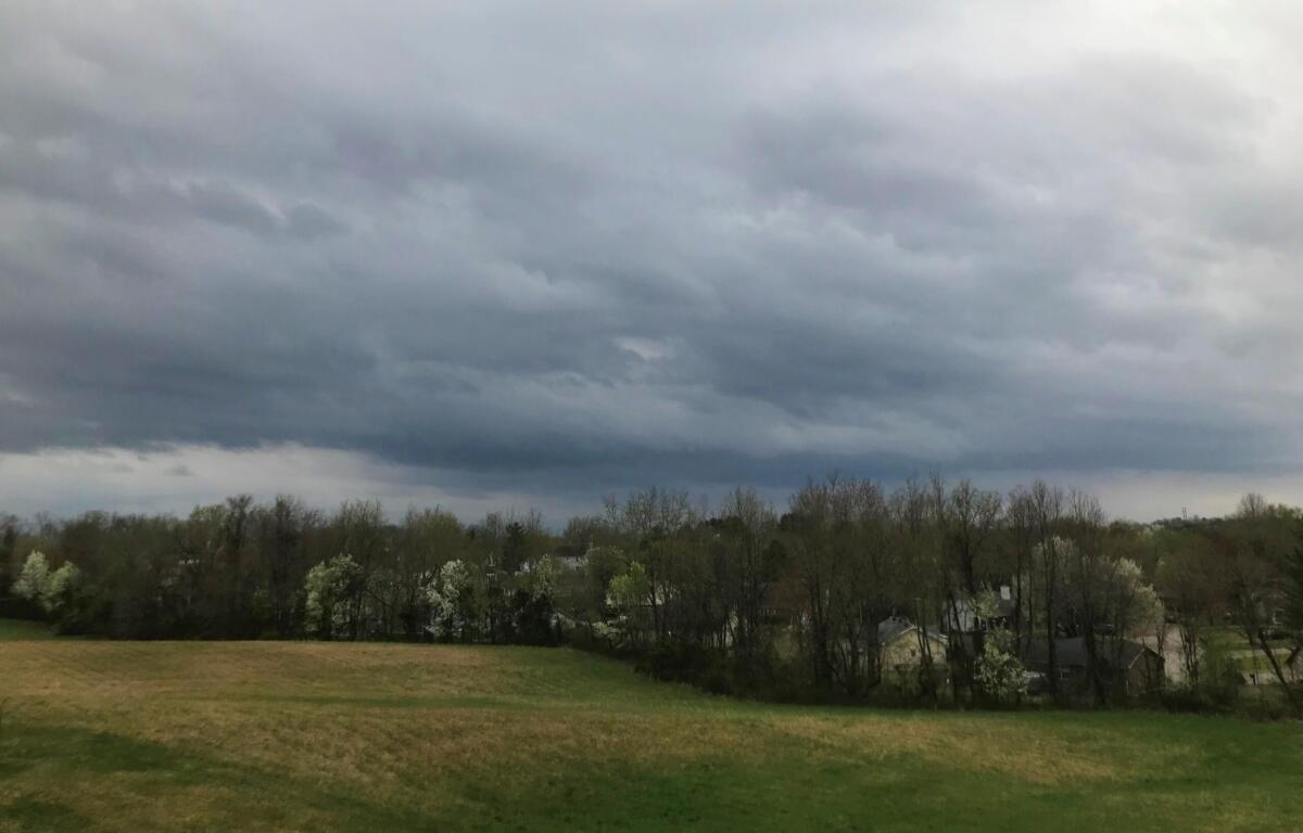

HOPKINSVILLE, KY (CHRISTIAN COUNTY NOW) – With storms moving across Kentucky today, the National Weather Service has issued a Severe Thunderstorm Watch for Christian and surrounding counties until 8 p.m.
A Watch means that conditions are right for a severe storm to develop. If a severe storm is indicated on radar, a Severe Thunderstorm Warning will be issued.
Flood Watch continues
A Flood Watch also remains in effect, through Sunday morning.
“Showers and thunderstorms are expected Saturday. With abundant moisture, flooding will be possible in any slow-moving or training thunderstorms that develop,” the NWS said. “Excessive runoff may result in flooding of rivers, creeks, streams, and other low-lying and flood-prone locations.”
Extreme Heat Watch in effect
Also, there’s an Extreme Heat Watch in effect from Monday morning through Thursday evening. Dangerously hot conditions are expected, with heat index values up to 110 possible.
Heat related illnesses increase significantly during extreme heat and high humidity events,” the NWS said. “Drink plenty of fluids, stay in an air-conditioned room, stay out of the sun, and check up on relatives and neighbors.”
| WEATHER OUTLOOK: Click here for Christian County’s weather forecast and live radar.